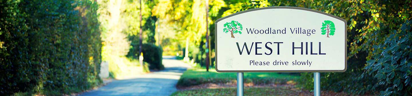
West Hill is a woodland village. Most houses are screened by hedges and tree-lined banks providing a high degree of privacy and creating the rural, wooded character that we all appreciate.
Some trees are protected by Tree Preservation Orders, which prohibits even minor works without planning permission. But what about the rest? Groups of trees or individual trees may not in themselves be special but their removal would nevertheless destroy the woodland character of West Hill.
A group of volunteers, supported by the former Residents’ Association (before the Parish Council was established), began a project to survey the trees and hedgerows of the village and record those within and around the village which are thought worthy of special note and which contribute to the village's woodland character. It is hoped that by drawing attention to these “special” trees, residents will come to appreciate their contribution to our community and help to protect them, thus safeguarding our woodland village for future generations.
The project, known as the “Special Trees of West Hill” (or STOWH) Project has been several years in the making and aims to produce a document (on-line and/or hard copy) detailing the trees within and around the village which are thought worthy of special note and protection. It will eventually include and provide links to advice on how they can be protected, maintained and when necessary replaced with new trees. This is an ongoing project.
As the report is rather bulky, due to the number of maps within it, we have divided it up to make it easier to view. Just click on the links to open each section in PDF format:
Introduction, methodology key to symbols (start with this section so the maps make sense)
Map 1 - West Hill Road - garage end
Map 2 - West Hill Road - Harewood to Silver Birches
Maps 3 and 4 - West Hill Road - war memorial area, Beech Park and Ashley Brake area
Maps 5 and 6 - West Hill Road - Warren Park, Eastfield area and Needlewood Close area
Maps 7 and 8 - West Hill Road - Eymore Drive and western end of West Hill Road
Map 9 - Lower Broad Oak Road north
Map 10 - Lower Broad Oak Road - Spindle Tree Cottage to Elsdon Lane
Map 11 - Lower Broad Oak Road - Elsdon Lane to Badgers Bend
Maps 12 and 13 - Lower Broad Oak Road - Badgers Bend to The Pygthle and Hawkins Lane area
Map 14 - Lower Broad Oak Road - Birchbank and Pinehayes
Map 15 - Lower Broad Oak Road south
Maps 16, 17 and 18 - Ford Lane east, central and west
Maps 19, 20 and 21 - Hawkins Lane east, central and west
Maps 24, 25 and 26 - Higher Broad Oak Road north, central and south
Map 34 - Brackendown north side
How you can help the project:
Do you have a favourite tree, or perhaps lots of favourites, that you would like to see included? If so, please provide the details of where it is and what variety it is, so the STOWH volunteers can make sure that it is added. The survey as prepared only includes trees that are visible to the public from the roads. You can contact Eileen Perkins (Tree Warden) 01404 815905 to discuss.
Other useful reference material:
The Case For Trees (2010) - Forestry Commission guidance on trees in development and the urban environment
Information on the Tree Warden Scheme (Tree Council website)
Broadoak Plantation in West Hill - a short description and background
Devon County Council Highways - advice about tree safety and landowner responsibility
Tree Preservation Orders - an overview in West Hill and East Devon